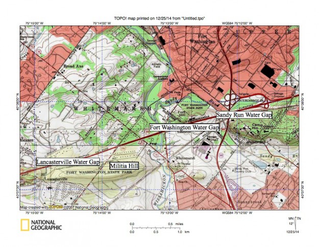
A7FortWashingtonwatergap
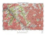
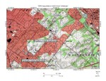
Figure 10: Wissahickon Creek and Wissahickon Creek tributary water gaps in the Fort Washington area. Wissahickon Creek flows in a south direction near the map center. Militia Hill, Fort Hill, and Camp Hill are residuals of an erosion resistant quartzite ridge located along the north margin of the west to east oriented Whitemarsh Valley. The south oriented Wissahickon Creek Fort Washington water gap is located between Militia Hill and Fort Hill. The north oriented Sandy Run water gap is located just to the east and is between Fort Hill and Camp Hill. An unnamed south oriented Wissahickon Creek tributary originates in the map southwest quadrant and flows in a south direction through the Lancasterville water gap to the map south edge and joins Wissahickon Creek further to the south. United States Geological Survey map presented using National Geographic TOPO software.